Blue Line Extension Light Rail Transit project
Dates
2020-2030
Location
North Minneapolis, Robbinsdale, Crystal, and Brooklyn Park Cleveland Hawthorne Jordan Near-North North Loop Willard-HayProject overview
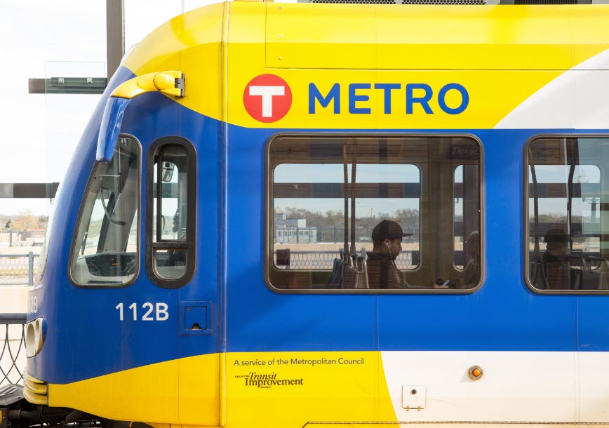
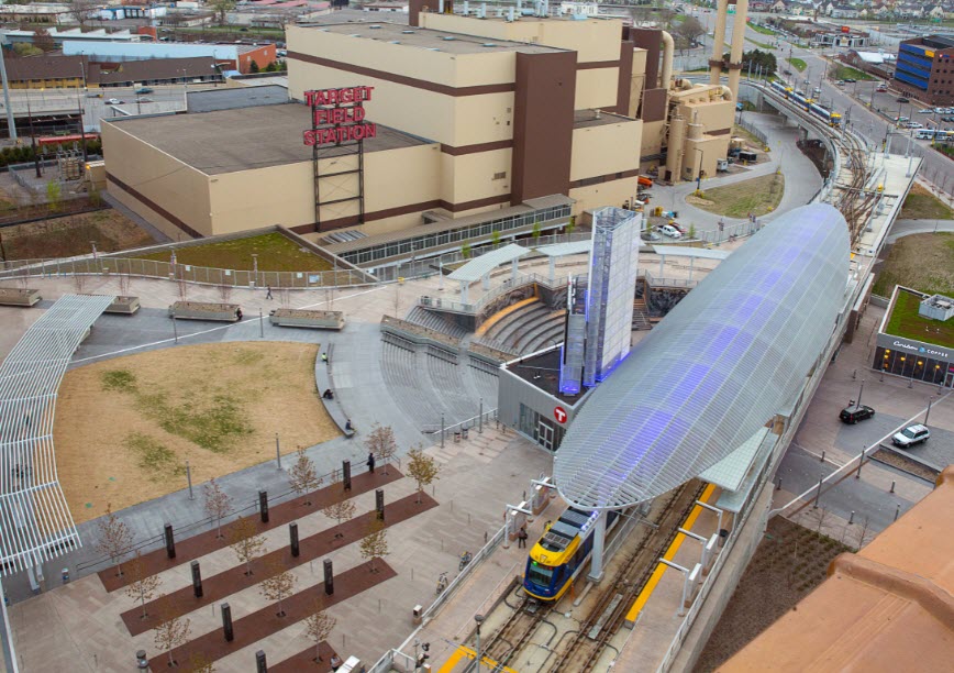
This project will make the Blue Line longer. The route will start at Target Field Station. Then it will go to North Minneapolis and up to Brooklyn Park.
For more information, visit the Metropolitan Council Project Webpage
The project will:
- Connect people to new opportunities and destinations.
- Provide better transit service by lowering travel times.
- Invest in safer streets for all travel modes.
- Commerce and service areas near the line will now have easier access via transit.
- Provide better access to education and employment opportunities on transit routes.
- Support the City's mode shift goals.
See strategy 6 from the Transportation Action Plan
Project partners will also address related issues, including:
- Housing
- Economic development
- Land use planning
- Displacement
The project will include:
- Street reconstruction along the train tracks
- Potential transit mall(s)
- Changes to curbside uses (e.g., on-street parking)
- Improved sidewalks
- New or improved bikeways
- More greening
- Updated lighting and utilities
Route details
The Blue Line connects to three lines in Downtown Minneapolis. This connection is at the Target Field Station:
- Blue Line on the Hiawatha Corridor to the Minneapolis-St. Paul Airport and Mall of America.
- Green Line via the University of Minnesota and Prospect Park to St. Paul.
- Northstar Commuter Rail Line to northern suburban communities.
Read the proposed alignment on the Metropolitan Council's project webpage
City involvement
Metro Transit and Hennepin County staff lead the Blue Line Project Office. The Project Office leads the engagement, engineering, and design. City plans and policies inform the route and design.
City staff informs the Project Office on:
- Anti-displacement
- People and businesses have support to live and work near the Blue Line.
- People and businesses have support to live and work near the Blue Line.
- Transit oriented development (TOD)
- The Blue Line supports neighborhoods near stations with housing, jobs, and education.
- The Blue Line supports neighborhoods near stations with housing, jobs, and education.
- Safe street designs
- Streets near the Blue Line are designed to improve safety for all users.
- Streets near the Blue Line include sidewalks, bike lanes, and vehicles.
- Easy access to stations
- Make it easy to get to stations in city neighborhoods.
- Make it easy to get to stations in city neighborhoods.
- Achieve the City’s climate, prosperity, and mode shift goals
- Improve the health of the community and the environment.
Residents and business owners
Residents serve on the Blue Line Community Advisory Committee (CAC).
Learn about the CAC
Business owners serve on the Business Advisory Committee (BAC).
Learn about the BAC
Upcoming milestones
The project published the draft Anti-Displacement Coordinated Action Plan.
The City will start Station Area Planning in 2025.
Project history
2012
In 2012, an original plan used the BNSF rail corridor. This corridor traveled through Crystal, Robbinsdale, and Wirth Park in Golden Valley. In Minneapolis, the route followed Olson Memorial Highway.
2020
In 2020, Hennepin County announced that the railroad company did not want the Blue Line on its property. Project partners started looking for a new route for the Blue Line.
2022
The Project Office published the 2022 Route Modification Report. This report found a new route along Bottineau Boulevard (County Road 81) in Crystal and Robbinsdale, and West Broadway in Minneapolis. The Project Office continued to study several route options between Target Field Station and West Broadway Avenue.
2023
The Project Office recommended a route after further study, design, and public engagement. The Blue Line route runs north from Target Field Station along:
- North 7th Street
- Oak Lake Avenue
- 10th Avenue
- Washington Avenue
- Then crosses I-94 at 21st Avenue on a new bridge
The route runs on 21st Avenue between I-94 and James Avenue, where it would switch over to West Broadway Avenue. The route runs on West Broadway Avenue from James Avenue to the city border with Robbinsdale.
The Project Office presented their recommended route to the City Council on August 22, 2023.
Watch the presentation
2024
The Project Office published the Supplemental Draft Environmental Impact Statement (SDEIS). This document studies the benefits and impacts of the project. Based on the proposed design, construction, and operation of the Blue Line Extension.
The Project Office and city staff presented on the SDEIS to the City Council on July 9, 2024.
Read City comments
Watch the presentation
The Minneapolis City Council approved the Blue Line design on October 2, 2024. The resolution describes priorities for design changes and Anti-Displacement. The municipal consent process included a public hearing.
Watch the September 12, 2024 Public Hearing at the Climate & Infrastructure Committee
Watch the September 17, 2024 staff presentation at the Intergovernmental Relations Committee
Watch the September 26, 2024 Climate & Infrastructure Committee Meeting on the Resolution
Watch the October 2, 2024 City Council Meeting on the Resolution
Read the City Resolution Approving the Preliminary Design Plans
2025
The Project Office published the Supplemental Final Environmental Impact Statement (SFEIS). This document studies the benefits and impacts of the project. It describes strategies to address environmental and community impacts. Public comments were accepted on the SFEIS through June 22, 2025.
Read the SFEIS statement
The Project Office and City staff presented on the SFEIS to the City Council on June 12, 2025.
Community input
It is important for people who live, work, or use public transportation near the Blue Line to share their opinions. The Project Office will ask for people's comments in different ways. By participating, you will have a say in the final decision. You can participate in surveys, an open house, and virtual meetings.
Other opportunities to provide input
Project phase
This project is currently in progress.
Input
Design
In Progress
Complete


Contact us
Blue Line Extension City Team
Transportation Planning and Programming Division
Public Works
Public Service Building
505 Fourth Ave. S., Room 410
Minneapolis, MN 55415

